Download Visitors Guide

Little Tennessee River in the Smoky Mountains of NC

Little Tennessee River

"archive"

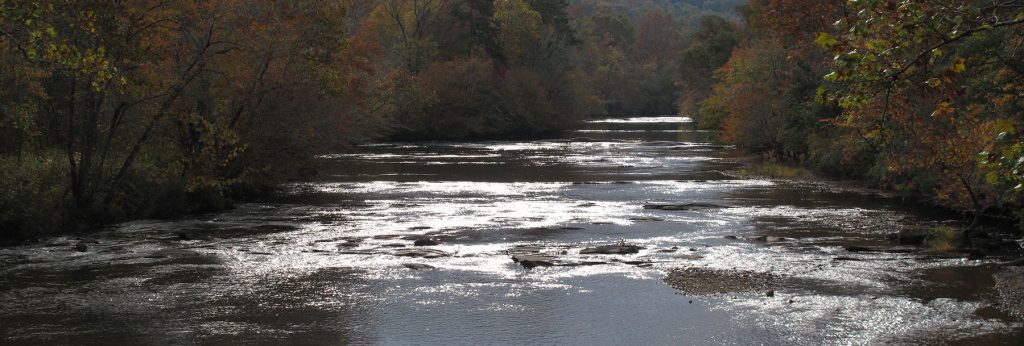
The Little Tennessee, a 135 -mile river, and its immediate watershed comprise one of the richest archaeological areas in the Southeastern U.S. containing substantial habitation sites dating back to as early as 7500 B.C. Cyrus Thomas, who conducted a survey of earthwork mounds in the area for the Smithsonian Institution in the 1880s, wrote that the Little Tennessee River was “undoubtedly the most interesting archaeological section in the entire Appalachian district.”

The Little Tennessee drains portions of three national forests—Chattahoochee, Nantahala, and Cherokee, and provides the southwestern boundary of the Great Smoky Mountains National Park.

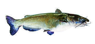
Known to the avid fisherman for its Smallmouth Bass, this river is a popular spot for canoeing, fishing and boating. Travelers and locals alike enjoy Franklin’s Little Tennessee Greenway as it winds along the river.

Check with North Carolina Wildlife Resources Commission at www.ncwildlife.org for fishing regulations specific to this river.

Fish Species

"archive"
Rainbow Trout
"archive"
Smallmouth Bass
"archive"
Largemouth Bass
"archive"
White Bass
"archive"
Walleye
"archive"
Catfish
"archive"
Sunfish
"archive"
Crappie
"archive"
Rock Bass

Little Tennessee River Put-in Points

  • GPS: (lat) 35.306976, (long) –83.522563
  • Water Type:  River
  • Water Class:  I-II
  • Launch Type:  Drift
  • Restrooms:  No
  • Picnic Area:  No
  • Universal Access:  N/A
  • Time to Next Point:  1 Hour
  • Safety & Other Notes:  N/A
  • GPS: (lat) 35.356369, (long) –83.506174
  • Water Type:  River
  • Water Class:  I-II
  • Launch Type:  Drift
  • Restrooms:  No
  • Picnic Area:  No
  • Universal Access:  N/A
  • Time to Next Point:  N/A
  • Safety & Other Notes:  N/A
  • GPS: (lat) 35.339237, (long) –83.531985
  • Water Type:  River
  • Water Class:  I-II
  • Launch Type:  Drift
  • Restrooms:  No
  • Picnic Area:  No
  • Universal Access:  N/A
  • Time to Next Point:  2 Hours
  • Safety & Other Notes:  N/A
  • GPS: (lat) 35.122153, (long) –83.374376
  • Water Type:  River
  • Water Class:  I-II
  • Launch Type:  Drift
  • Restrooms:  No
  • Picnic Area:  No
  • Universal Access:  N/A
  • Time to Next Point:  3 Hours
  • Safety & Other Notes:  N/A
  • GPS: (lat) 35.173693, (long) –83.372081
  • Water Type:  River
  • Water Class:  I-II
  • Launch Type:  Drift
  • Restrooms:  Yes
  • Picnic Area:  Yes
  • Universal Access:  N/A
  • Time to Next Point:  1 Hour
  • Safety & Other Notes:  N/A
  • GPS: (lat) 35.219556, (long) –83.370389
  • Water Type:  River
  • Water Class:  I-II
  • Launch Type:  Primitive
  • Restrooms:  No
  • Picnic Area:  No
  • Universal Access:  N/A
  • Time to Next Point:  8 Hours
  • Safety & Other Notes:  N/A
  • GPS: (lat) 35.32754, (long) –83.513752
  • Water Type:  River
  • Water Class:  I-II
  • Launch Type:  Primitive
  • Restrooms:  No
  • Picnic Area:  No
  • Universal Access: N/A
  • Time to Next Point:  1 Hour
  • Safety & Other Notes:  N/A