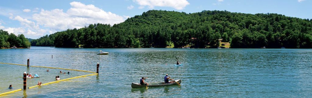
Lake Glenville is a reservoir located 8 miles from Cashiers, North Carolina. It was formed by the damming of the west fork of the Tuckasegee River in 1941. Between 1951 and 2002, it was officially known as “Thorpe Reservoir”. It is still listed as such on many maps.
As part of the nation’s war efforts entering into World War II, the Aluminum Company of America (ALCOA) needed more electricity to keep up with an increased production. In June 1940, Nantahala Power and Light, then owned by ALCOA, began constructing a dam on the west fork of the Tuckasegee River at Onion Falls. They completed it in late 1941, filling a new lake called Thorpe Reservoir or Lake Glenville. It encompassed the entire valley north of Cashiers, flooding the town of Glenville, including schools, homes, businesses, and farmlands to a depth of 300 feet.
The lake bottom plunges as steeply as the mountains that meet the shore. The depth a short distance from the water’s edge may register 80 feet (24 m) or more. The lake also has 26 miles (42 km) of shoreline and is the highest elevation lake east of the Mississippi encompassing 1,452 acres. Over the years, its waters have become a tourist destination for kayakers, canoers, waterskiiers and pleasure boat enthusiasts who found a cool retreat in the Southeast’s otherwise boiling summers.
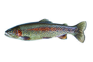
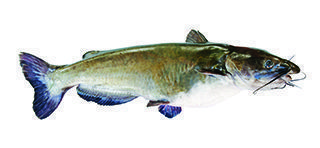
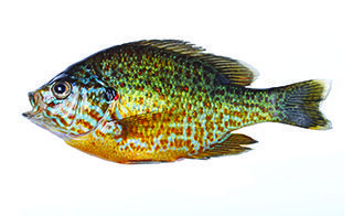
Check with North Carolina Wildlife Resources Commission at www.ncwildlife.org for fishing regulations specific to this river.