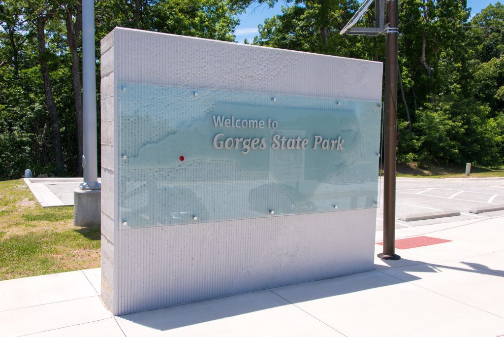
Explore 7,500-acres of natural beauty at the Gorges State Park in Sapphire, NC. Here you’ll find rushing rivers, sheer rock faces, plummeting waterfalls, deep gorges, and rare species of flora and fauna.
 Trails & Waterfalls
 Trails & Waterfalls
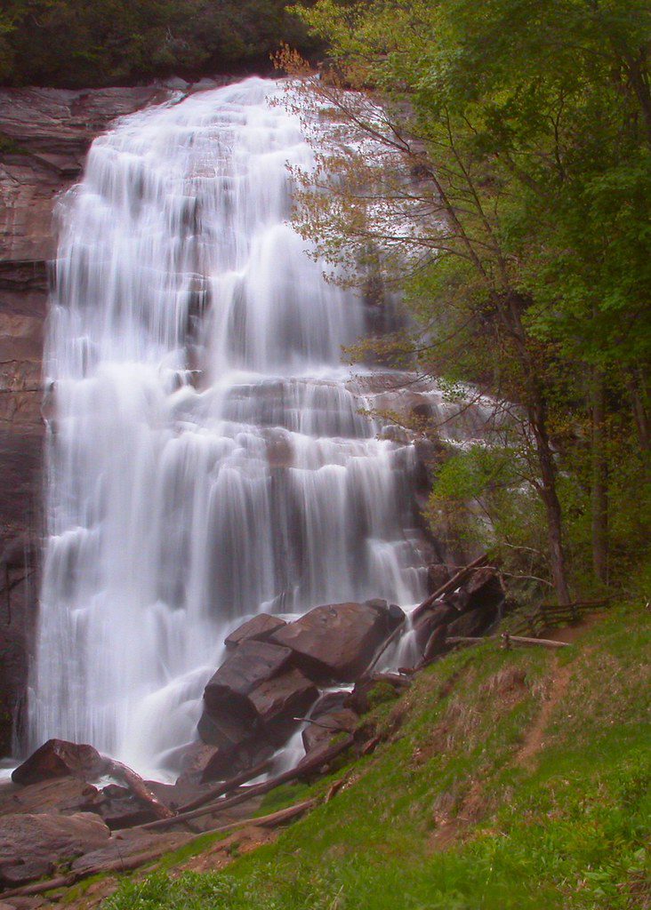
Gorges is known for the multitude of beautiful waterfalls located throughout the park. Turtleback Falls, Rainbow Falls, and Bearwallow Falls are among our favorites. You’ll find 13 hiking trails, some short and some long, covering 56 miles. Add to that 17 miles of mountain biking and equestrian trails you can explore.
Bearwallow Falls
Hikers looking for a challenge will enjoy the Bearwallow Falls Trail. The gravel trail isn’t long at just .4 miles, but the hiking is strenuous. At the end, you are rewarded with a spectacular view from the Upper Bearwallow Falls observation deck overlooking a long cascade on Bearwallow Creek.
Lime Kiln Trail
For a more moderate hike, the .6-mile Lime Kiln Trail is a good choice. The loop trail leads you down to the abandoned lime kilns used by early settlers In the late 1800s and early 1900s to burn the marble they mined along Bearwallow Creek and metamorphosed into quicklime, which they used for whitewash, fertilizer, plaster, and mortar. The kilns are quite interesting and well worth the hike just to see them.
Visitor Center Connector Trail
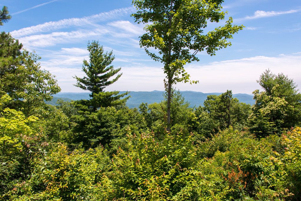
If you’re looking for an easy hike suitable for children and seniors, try the Visitor Center Connector Trail. The trailhead is at the Visitor’s Center and follows a .50-mile roundtrip path that leads to the Bearwallow Valley observation deck where you can see much of the park and Jocassee Lake on the South Carolina border on a clear day.
Auger Hole Trail
Mountain biking and horseback riding are permitted from the Frozen Creek access area on the Auger Hole Trail, but riders cannot go past Turkey Pen Gap near the western boundary of the park. There is a nice picnic area at the trailhead.
Insider Tip: Horses must have proof of a negative Coggins test before they are allowed in the park.
Visit Gorges State Park Trails for a complete list of trails.
Fishing
Cast your line and enjoy the solitude of this state park. The water is teeming with Smallmouth Bass, Redeye Bass, Brown Trout, and Rainbow Trout. You have your choice of hiking your gear to the Bearwallow Creek and Toxaway River that flow through the middle of the park, or there is boat access to Lake Jocassee at Devil’s Fork State Park in South Carolina.
The rivers and streams in the park are designated Wild Trout Waters, meaning the regulations of the NC Wildlife Resources Commission apply. You will find them at NC Regulations and Licenses.
Native Plants
This park has many rare species of plants and animals. Because of this, 275 acres were placed on the NC Registry of Natural Heritage Areas. One of the most stunning features is the colonies of endangered Lady Slipper Orchids growing wild throughout the park. (It is illegal to pick them or dig them up.) With over 80” of rainfall annually, Gorges State Park is a temperate rainforest biome and it’s home to some plants found only in the tropics!
Camping
The camping in the Gorges State Park is considered “primitive camping,” meaning you’re deep in the woods with very few amenities. To find out which campsites offer some amenities, like pit toilets, bathhouses, electric hookup, and access to water, visit Gorges State Park Campground Details.
The site will let you see which campsites have fees and are wheelchair accessible. As with all backpack camping, you must carry out anything you carry in, although there are recycling stations in the area.
One very important note is that the gates to the park are locked at night, so you need to make sure you are not locked in if your just day-hiking or locked out and unable to get back to your campsite if you’ve left the park.
Picnicking
For a quiet, peaceful picnic amongst the trees, Gorges State Park offers some beautiful spots. There are two well-maintained, covered picnic shelters, but only one of them can be reserved while the other is first come first serve. Again, carry out what you carry in.
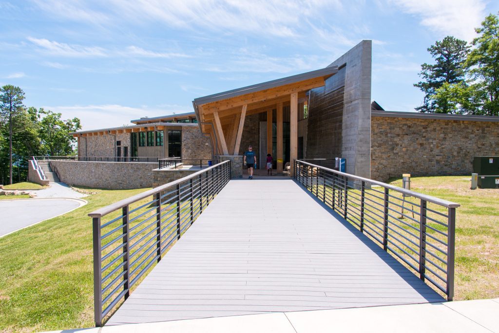
Visitor Center and Educational Programs
The Gorges State Park Visitor Center is a center for learning and having new experiences. Here you’ll find a large exhibit hall with museum-quality displays, a 40-person classroom, restrooms, 2 large picnic shelters, park offices, and a large, covered wraparound porch with “gorge”ous views of the park.
Take advantage of their programs out in the park to learn about local wildlife, flora, and natural features of the park. Most of the programs are free, because education is a big part of maintaining the park’s natural beauty.
Some of the topics may include a “Walk in the Woods” guided tour that teaches you how to identify tree species, “Salamanders of Gorges,” or “Nature Journaling” that gives you practice with intentional curiosity. For more information about programming, call the park office at 828-966-9099.
Gorges State Park from North Carolina State Parks on Vimeo.
Directions
Gorges State Park is located in Sapphire, NC in Transylvania County. The park is approximately 45 miles southwest of Asheville. Follow Hwy 64west out of Brevard until you reach Sapphire, turn left on Hwy 281south, the park entrance is .7 miles on your left. The Visitor Center is located .5 miles inside the park on Grassy Ridge Road.
From Asheville, reach the park from I-26, taking exit 40 onto NC 280 and traveling west toward Brevard. Turn west on US 64 and travel toward Sapphire. To reach the Frozen Creek Access (east side of the park), turn left onto Frozen Creek Road, which is approximately two miles past NC 178. The east entrance is three miles on the right. To reach the Grassy Ridge Access (west side of the park), turn south on NC 281 in Sapphire; the western park entrance is .7 miles on the left.
From Atlanta, GA, reach the park from I-85, taking South Carolina exit 1 onto SC 11 and traveling north toward Walhalla, SC. Turn north on SC 130, which becomes NC 281 at the North Carolina state line. Continue north on NC 281. The Grassy Ridge Access (west side of the park) is approximately seven miles north of the state line on the right. To reach the Frozen Creek Access (east side of the park), turn east on NC 64 in Sapphire. Travel toward Brevard approximately eight miles and turn right on Frozen Creek Road. The east entrance is three miles on the right.
From Charlotte, reach the park by traveling west on NC 74 to I-26. Turn west on I-26, traveling toward Hendersonville. Take exit 49B to NC 64 and travel west through Brevard toward Sapphire. To reach the Frozen Creek Access (east side of the park), turn left onto Frozen Creek Road, which is approximately two miles past NC 178. The east entrance is three miles on the right. To reach the Grassy Ridge Access (west side of the park), turn south on NC 281 in Sapphire; the western park entrance is .7 miles on the left.
From Greenville, SC, reach the park by traveling on US 276 north to SC 11. Take SC 11 south toward Walhalla, SC, and turn north on SC 130, which becomes NC 281 at the North Carolina state line. Continue north on NC 281. The Grassy Ridge Access (west side of the park) is approximately seven miles north of the state line on the right. To reach the Frozen Creek Access (east side of the park), turn east on NC 64 in Sapphire. Travel toward Brevard approximately eight miles and turn right on Frozen Creek Road. The east entrance is three miles on the right.
Safety First
Gorges State Park is in a remote with few other people around. Be sure to follow directions on any posted signs as well as these additional precautions.
– View waterfalls from below. Rocks and cliffs are jagged and slippery from the vegetation growing around them. Don’t climb next to waterfalls, or wade at the top where a swift current may not be visible.
– The park terrain is steep and rugged in some places. Casual hiking in the more secluded areas of the park is not recommended. Hike with a buddy if possible.
– Nearby Lake Toxaway breeched its dam in 1916 and the water rushed down the gorges, leaving 15- to 20-foot piles of debris everywhere. You’ll see them around the park, but please do not attempt to climb them.
– Be aware you may bump into wildlife like Black bears and coyotes. Stay alert and don’t leave food around your campsite.
Photos Credits: